Stage 2: Galisteo Basin
2026 Route
Open Desert, Fast Flow & Endless Horizon Lines
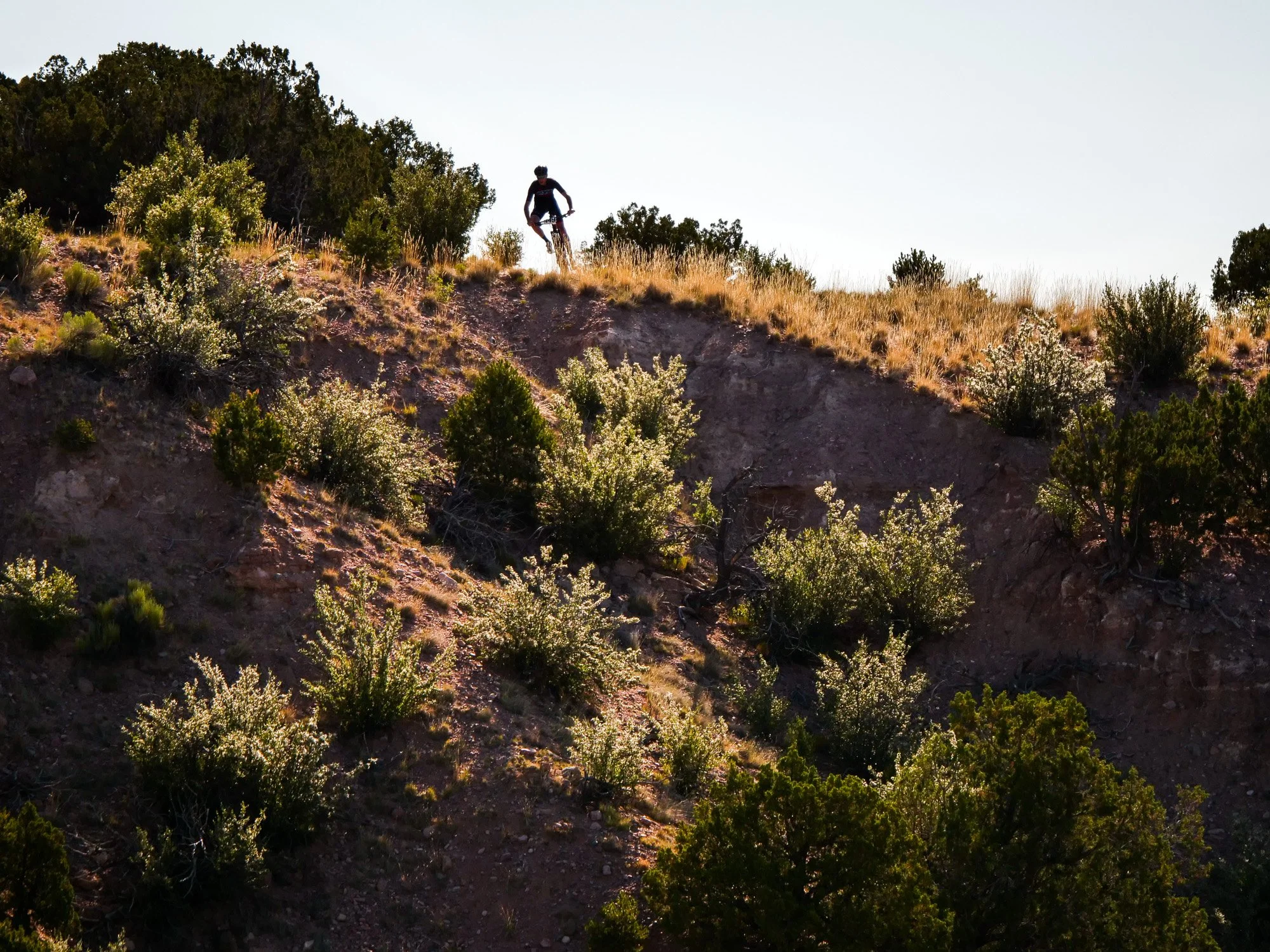
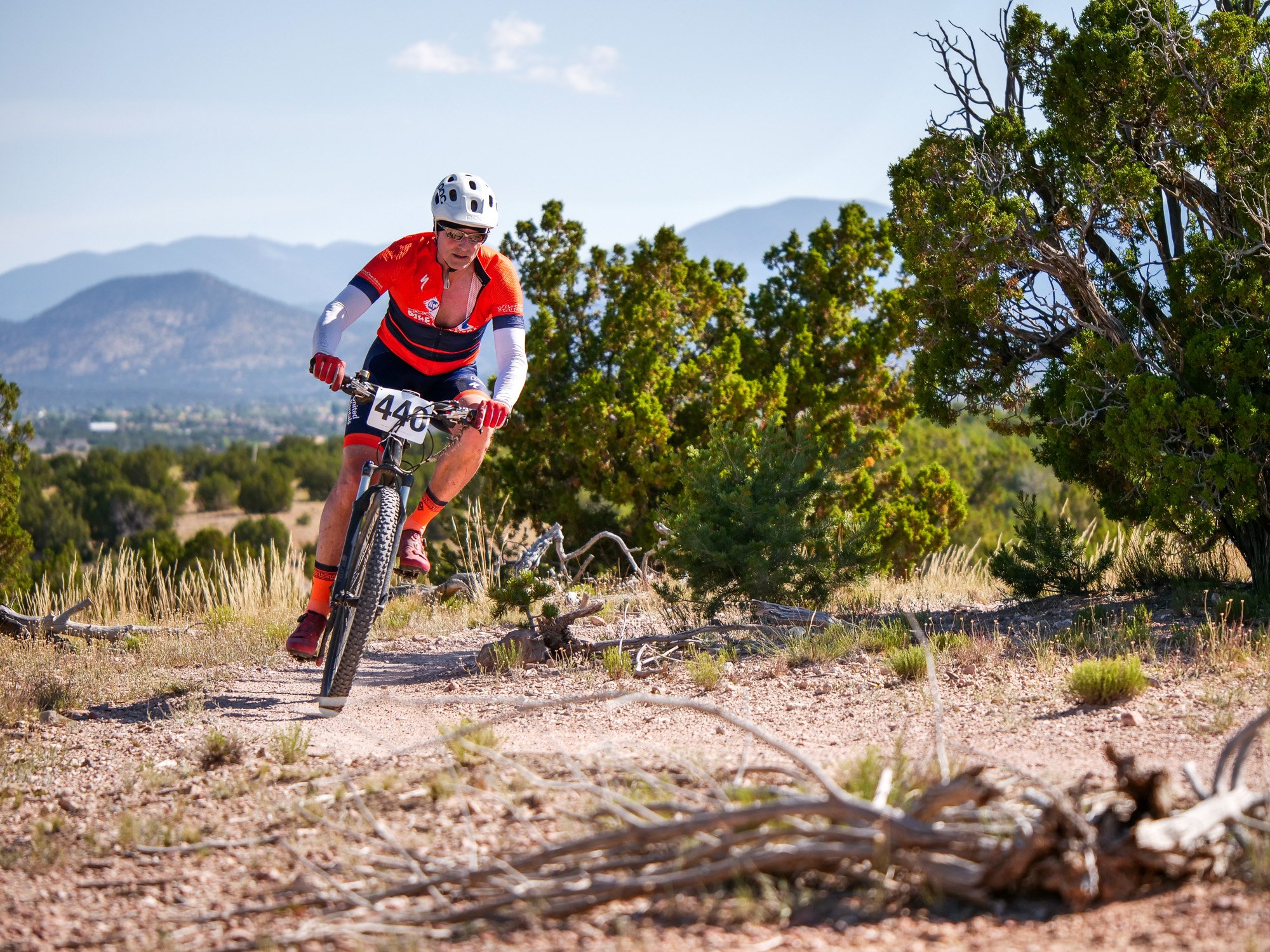
For 2026, Stage 2 takes place in the expansive Galisteo Basin Preserve, a wide-open high-desert landscape just south of Santa Fe. With sweeping views, rolling contours, and fast, rhythmic singletrack, the Basin offers a totally different flavor of riding from Stage 1.
This is a day defined by flow, big skies, and terrain shaped by the desert’s long horizon.
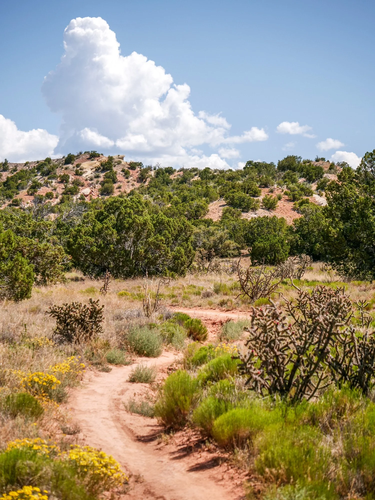
Galisteo Basin’s trail network is known for:
Smooth, rolling singletrack
Gentle climbs with panoramic views
Long, fast descents carved into desert contours
Classic New Mexico textures: sand, tuff, juniper, and wide-open space
It’s a stage where riders can settle into their cadence, open up speed, and experience the calm, beautiful rhythm of the high desert.
Why Galisteo Basin Works for 2026
Permits, ecological sensitivity, and fire risk make alpine access complex in the Santa Fe region. Galisteo Basin offers:
Reliable, lower-elevation access
Excellent trail sustainability
Fewer environmental and operational constraints
A consistent rider experience regardless of weather
It’s the perfect pairing to the technical mesas of Los Alamos and the ridgelines of Glorieta.
Looking Ahead: Ski Santa Fe → Fort Marcy (Future Route Vision)
An Alpine-to-Desert Descent Worth Waiting For
Our long-term vision for Stage 2 is a true point-to-point epic from Ski Santa Fe to Fort Marcy Park in downtown Santa Fe. While permits are unlikely for 2026, this route represents the future direction of the stage.
Planned Highlights
(Subject to approval in future years)
Climb from Aspen Vista to the summit near the Ski Santa Fe area
Descend through alpine forest into the Windsor Trail
Connect to Saddleback and the Dale Ball network
Finish with a neutral roll into downtown Santa Fe
This alpine-to-desert journey would offer riders nearly a full vertical mile of descending and one of the most iconic trail experiences in the Southwest.
Why It’s Not the 2026 Route
High-elevation permitting, wilderness boundaries, seasonal trail restrictions, and multi-jurisdiction land management mean that this route requires extended planning and partnership.
We will continue working closely with land managers and community partners to explore possibilities for future editions of New Mexico True Singletrack.
Stage 2 Full Pint Maps:
Please note: TransRockies is currently working through necessary permit approvals for all stages. This process is currently ongoing so minor changes to the routes may occur leading up to race day so please check back periodically. We will send out updates, as approvals are obtained or changes are made. We appreciate your patience and support for this process.
*All distances and elevation gain are approximate and will vary depending on the watch, app, or measuring device that you use.
*Due to ever-changing wildlife restrictions, wildfires, weather-related trail closures, and other unforeseen limitations, the following information is subject to change at any time before, during, or after the start of each stage.