Stage 1: Los Alamos
Mesas, Canyons & Technical High-Desert Singletrack
Stage 1 kicks off in the heart of Los Alamos, starting and finishing near the Manhattan Project National Historical Park — a uniquely iconic setting where history and high-desert riding intersect. From the first pedal stroke, riders will feel the energy of this landscape: volcanic mesas, deep canyons, and forested ridgelines shaped by millennia.
This is a stage that mixes flow, technical challenge, and big views — a true introduction to Northern New Mexico’s character.
The Opening Climb: 3 Bears to Guaje Ridge
The day begins with a steady, scenic climb up 3 Bears, a trail known for its punchy rhythm and beautiful transitions from town into the higher forest. As you gain elevation, piñon and juniper give way to ponderosa stands and wide-open views of the surrounding mesas.
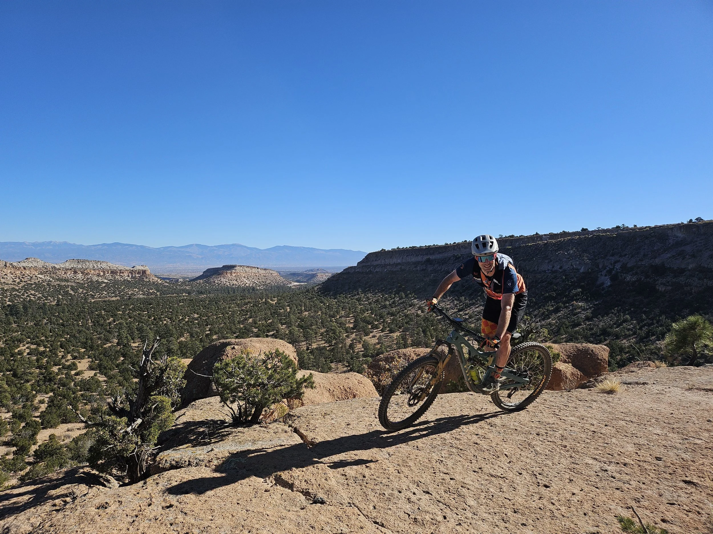
At the top, the course meets Guaje Ridge — a classic Los Alamos traverse that rolls along a dramatic spine of volcanic tuff. Expect airy exposure, memorable vistas, and fast, rewarding sections that make the climb well worth it.
This ridge is where riders fully feel Stage 1’s signature terrain: rugged, raw, and shaped by volcanic forces.
The Descent: Cabra Trail — Technical, Rocky, Iconic
From Guaje Ridge, the course drops into the Cabra Trail, one of Los Alamos’ most technical and character-filled descents.
Cabra is classic New Mexico riding:
Rocky step-downs
Loose tuff ledges
Tight turns
Quick decision-making
It’s challenging without being unmanageable — a perfect chance for skilled riders to shine and everyone to settle into the rhythm of the high desert.
Bajo Canyon: Smooth Relief & Desert Flow
After Cabra’s rugged features, the stage transitions into the easier, more relaxed trails of Bajo Canyon. These rolling, flowy connectors let riders open up their speed a bit, catch their breath, and enjoy the openness of the canyon landscape.
This middle section brings balance to the day — a chance to settle into the scenery before climbing back toward town.
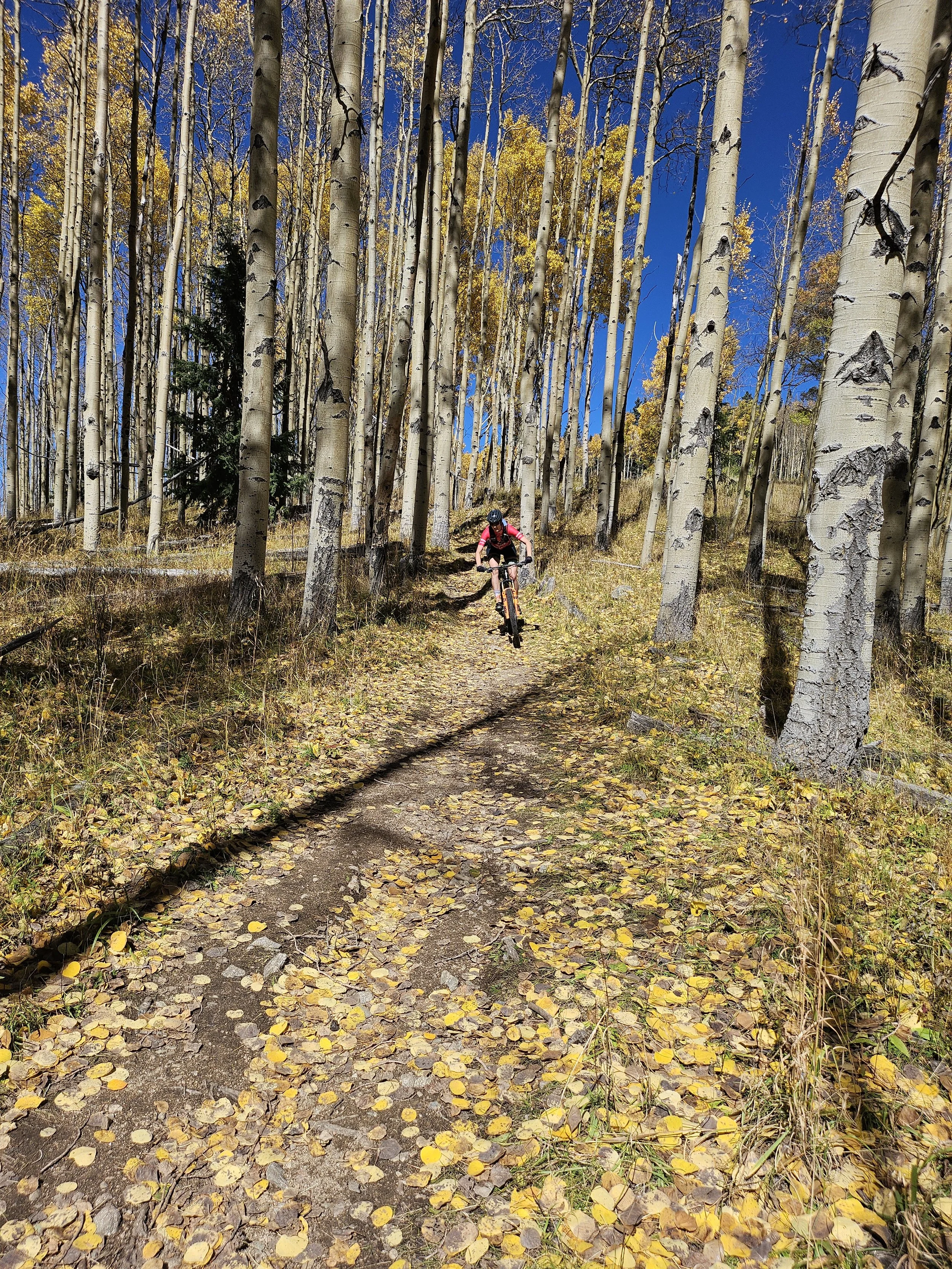
The Return: Climbing Toward Town on Tent Rocks
From the canyon floor, the route picks up the Tent Rocks trail system for a gradual climb back toward Los Alamos. These trails wind through sculpted formations and offer a smoother, more consistent grade — a welcome shift after the early technical features.
Expect:
Winding singletrack
Soft forest textures
Steady, rewarding altitude gain
Occasional views across Pueblo Canyon
It’s the kind of climbing that feels meditative rather than punishing.
The Finale: Technical Singletrack Above Pueblo Canyon
Before returning to town, riders will tackle a final stretch of technical singletrack perched above Pueblo Canyon. This last section blends small rock features, tight corners, and dramatic views — a high-desert sendoff before you roll into the finish line near the Manhattan Project Museum.
It’s a stage-ender that feels meaningful, scenic, and very Los Alamos.

Stage 1 Map: Route Maps
Please note: TransRockies is currently working through necessary permit approvals for all stages. This process is currently ongoing so minor changes to the routes may occur leading up to race day so please check back periodically. We will send out updates, as approvals are obtained or changes are made. We appreciate your patience and support for this process.
*All distances and elevation gain are approximate and will vary depending on the app or measuring device that you use.
*Due to ever-changing wildlife restrictions, wildfires, weather-related trail closures, and other unforeseen limitations, the following information is subject to change at any time before, during, or after the start of each stage.